It's a wrap for Infrastructure University 2022!
Thank you everyone for attending our Infrastructure University 2022!
We hope you enjoyed all the sessions as our technical experts put in the time and effort to prepare all these sessions for you.
If you wish to watch the recordings of the sessions on your own time or pass it on to your colleagues, please fill out this form (link below) to get access to the entire library of content Infrastructure University 2022.
The access link will be emailed to you next week by October 28.
If you have any questions or inquiries about any of the sessions or wish to get access to the PowerPoint, please email us at marketing@solidcad.ca.
Event Summary
Meet the Speakers
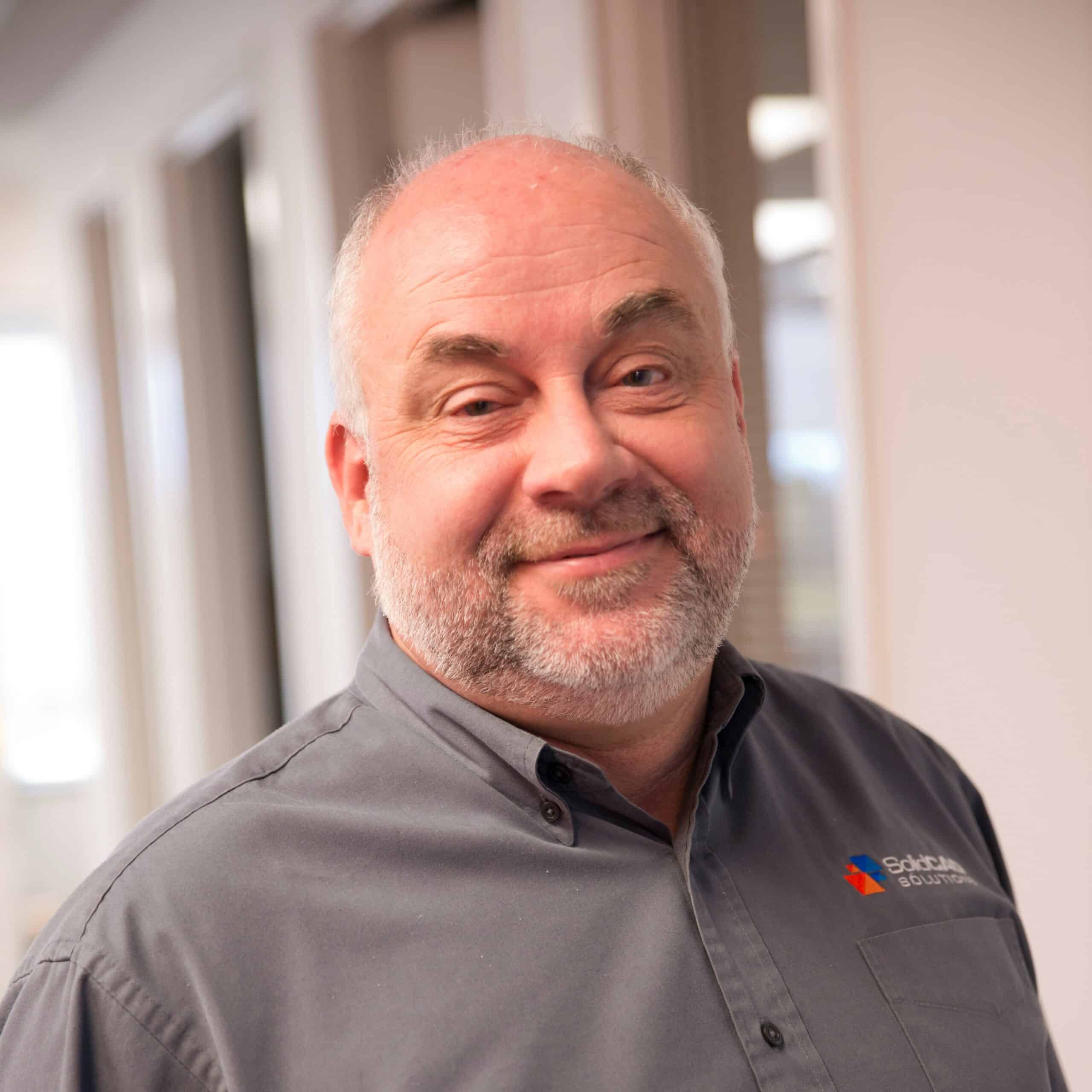
David Hill
David holds designations in Civil Technology, Ryerson Polytechnic Institute, and Computer Aided Drafting Technology, George Brown Institute of Technology and has an extensive experience with a wide variety of municipal engineering, land development, highway and airport projects span more than 25 years. David is an Autodesk Certified Implementation Expert and trainer who specializes in the use of AutoCAD Civil 3D to design complex transportation and land development projects (subdivision and commercial).
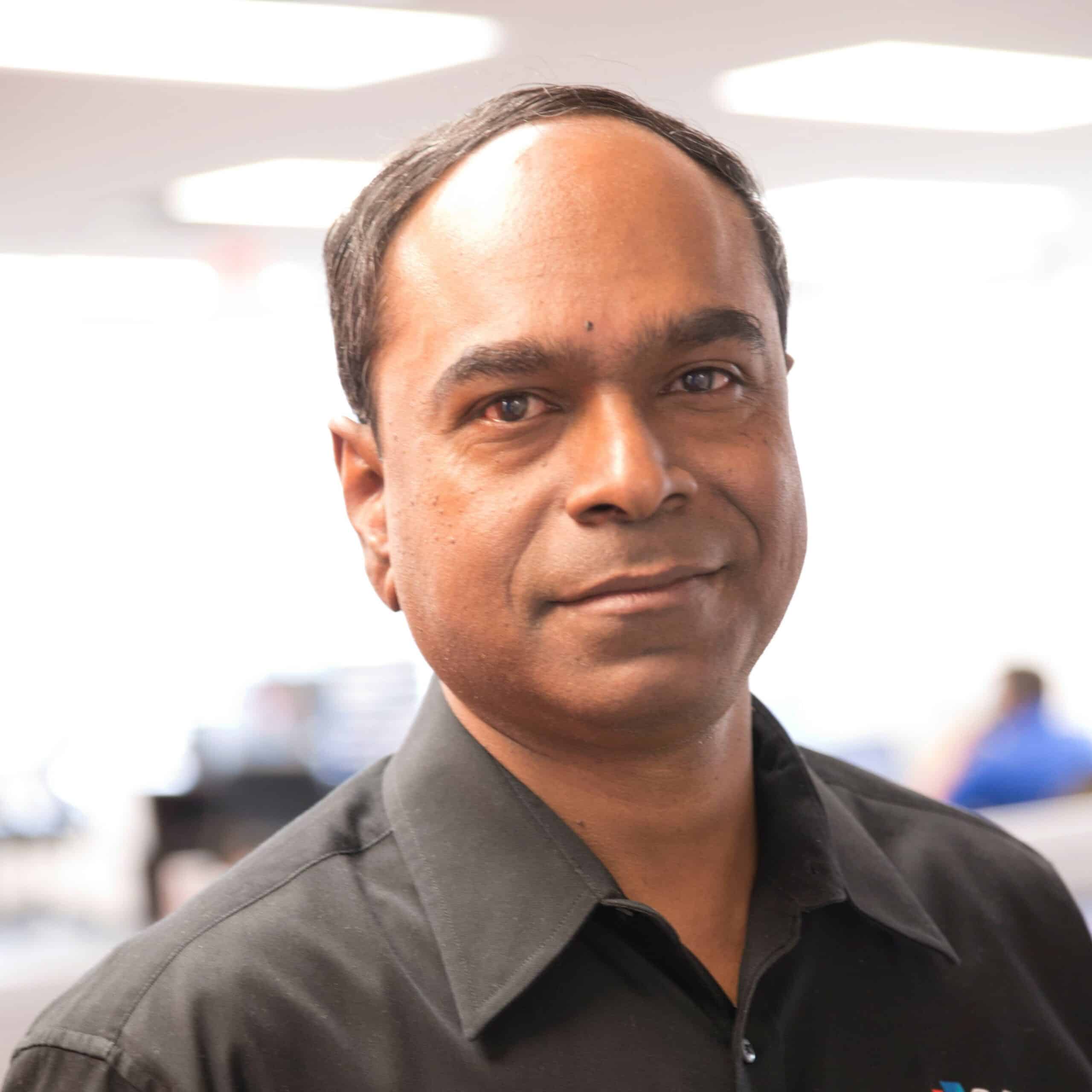
Prem Joseph
Prem holds a bachelor’s degree in civil engineering and is an Autodesk Certified Trainer and Implementation Expert. He brings more than 20 years of combined experience focused on transportation, municipal engineering and land development. His background includes project consulting, design supervision, CAD co-ordination and Civil BIM Management. In his current role, Prem provides introductory to expert-level consulting services, customization, training and support related to Autodesk Civil 3D, InfraWorks and Vault.
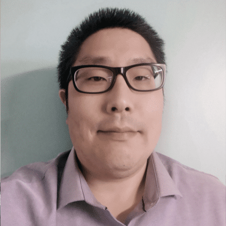
Jae Kwon
Jae Kwon is a professional technologist in New Brunswick, with a focus on highway and municipal civil engineering technology. Jae took lead in a wide range of projects, including highway design, GIS implementation, Lumion rendering and CAD standard management. Jae provides training and support on Autodesk civil engineering products with a focus on AutoCAD and Civil 3D. He is a strong advocate for practices that emphasize project efficiency, elimination of error, strong organization, and responsive feedback.
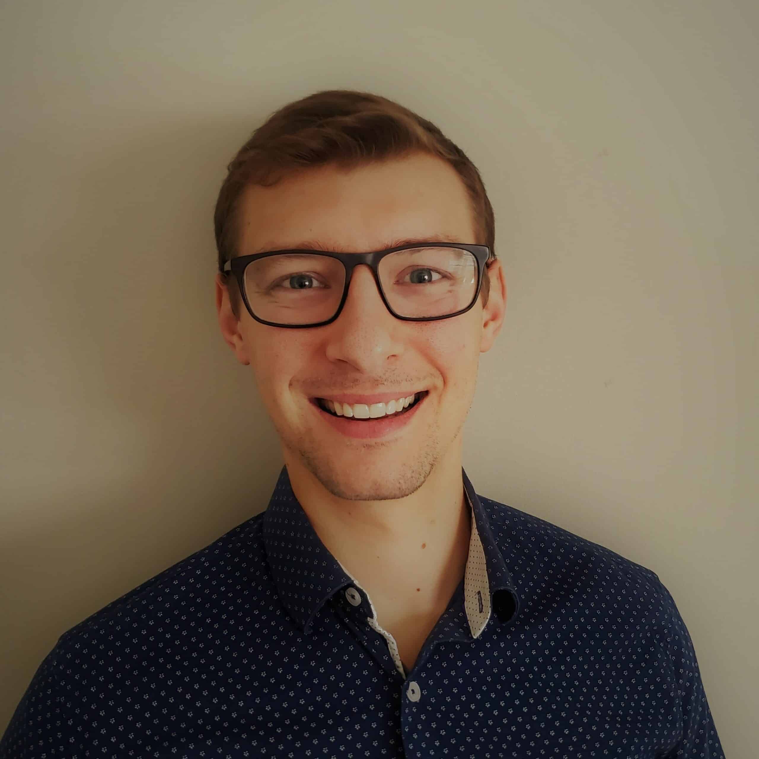
Colin Gaudet
Colin Gaudet is an Environmental Civil Engineering Technologist from Conestoga College. At SolidCAD, he is a key member of the Infrastructure/GIS team, where he provides training, implementation, and support on Autodesk civil engineering products with a focus on AutoCAD, Civil 3D, Vehicle Tracking, and Recap. He leverages his software experience and his past work experience to help clients achieve innovative solutions, streamlining project workflows, developing standards, and maximizing drafting and design efficiency.
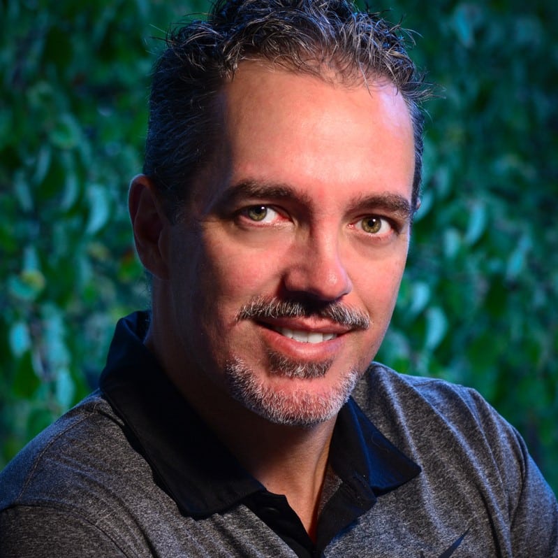
Matt Kolberg
Matt Kolberg is a Certified Technical Trainer (CTT) and implementation and support professional with 26 years of experience in civil engineering and consulting. At SolidCAD, he is a certified implementation expert, focusing on Autodesk Infrastructure products such as Civil 3D, InfraWorks, Vehicle Tracking, and Recap. He is highly regarded in the Autodesk Civil Community as a skilled trainer, standards developer, and technical support specialist in addition to authoring several official training courseware titles.
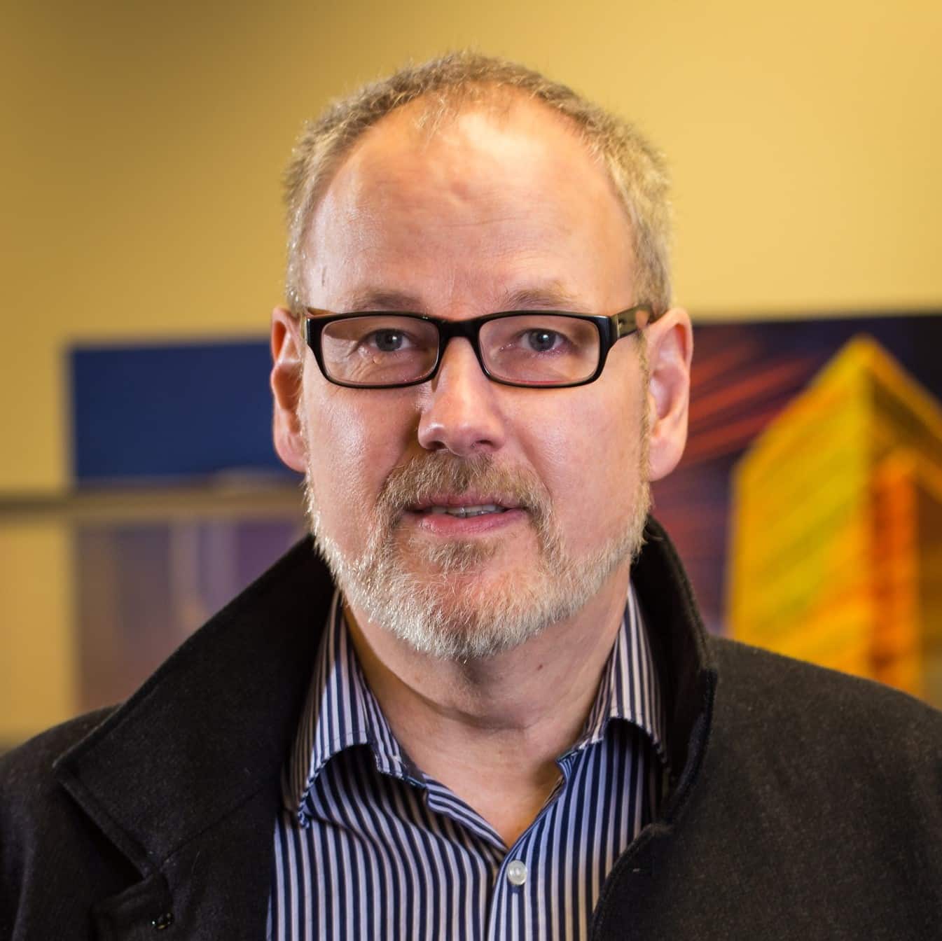
Gerry James
Gerry has over 20 years of experience in Geographic information systems (GIS) and data management. He has worked within a number of different industries including mining, oil and gas, and all levels of government.
He has extensive experience assisting organizations to leverage their spatial and non-spatial data assets through understanding their business processes and creating a solution that includes software and human capital to meet their specific requirements.
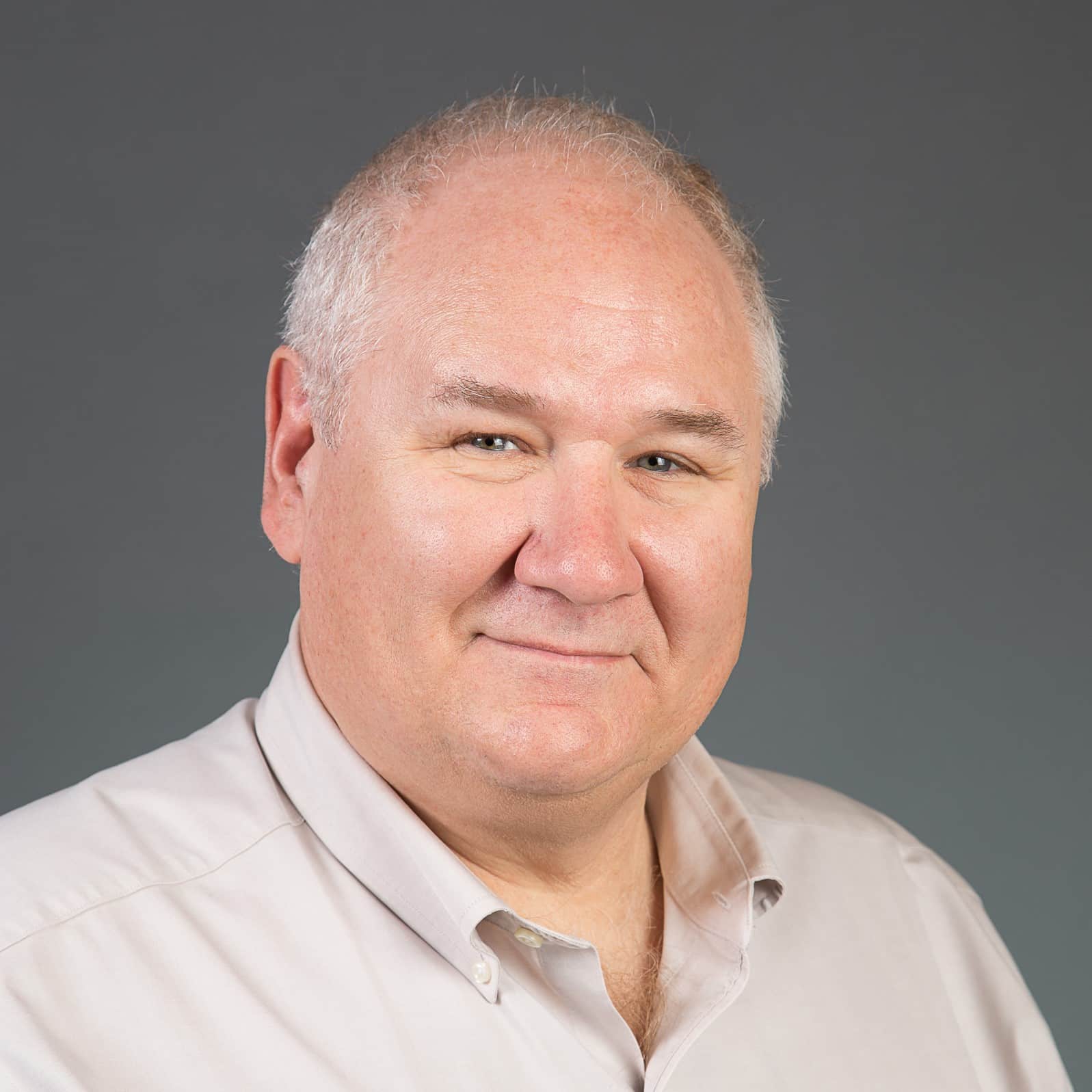
Frank Zander
Frank has a passion for architecting, mentoring and leading software development projects. He has 20+ years of experience developing and integrating software applications with Autodesk software and a proven project management track record of implementing multiple complex GIS applications in large-scale government enterprise environments. In addition, Frank has extensive application development experience and extensive knowledge in Autodesk Infrastructure Map Server, Map 3D, Vault, Inventor and InfraWorks.

Maxime Carrier
Maxime Carrier is a geomatics engineer, member of the Ordre des Ingénieurs du Québec and has worked since 2008 on a wide variety of projects in cartography and 3D modeling.
A Cansel employee since June 2018, Maxime recently joined the SolidCAD team as a bilingual technical consultant in civil engineering and geomatics. He currently covers consulting, implementation, training and support services for civil engineering and geomatics.
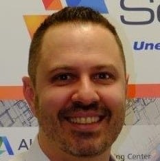
Stephane Fioretti
Stéphane Fioretti has a background in management and business administration and has more than 15 years of experience implementing IT solutions in the Autodesk environment in Europe and Canada. He joined the SolidCAD team in 2015 as a Professional services manager and oversees the Technical Consultant Team for Eastern Canada.
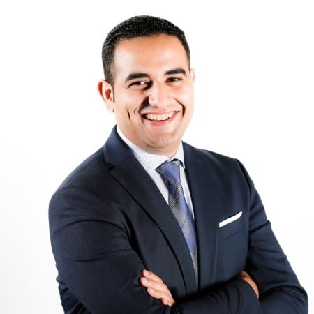
Akram Afifi
Akram Afifi is a Cansel Technical Sales Consultant, with a strong background in land surveying, laser scanning and UAV. Akram’s experience in civil engineering, both design and construction, led him to several developments in different levels of prototyping, modeling and data fusion for land surveying, aerial photogrammetry and Lidar, and terrestrial scanning. Today, Akram’s focus is on optimizing the end-user workflow throughout the data lifecycle to achieve an efficient, consistent, and precise field to finish project deliverables.
Sessions
DESCRIPTION:
Autodesk Subassembly Composer (SAC) and Dynamo provides enhanced capabilities to generate smart corridors in Civil 3D. In this session, you’ll learn the techniques using Subassembly Composer to automatically widen shoulders for guardrails depending on fill height, adjust slopes to fit the project within its limits, and make the corridors adapt intelligently in other ways. Using Dynamo for Civil 3D, many tedious corridor building tasks can be accomplished in less time. Discover how these free Civil 3D tools can help you take road modeling to the next level with Prem and Jae.
SPEAKERS:
Jae Kwon
Prem Joseph
DURATION: 45 MINS
DESCRIPTION:
Can-Flow is a multi-pronged field-to-finish efficiency platform designed by Cansel, specifically for professional surveyors in Canada. Can-Flow addresses many of the bottlenecks and miscommunications that surveyors face collecting data in the field and interpreting this data in the office. Can-Flow also provides discipline and traceability to the sharing and storing of your valuable data.
Learn how Can-Flow can transfer knowledge, processes, and data between field surveyors, project managers, and engineers faster and more efficiently through integrated data and standardized workflows.
SPEAKERS:
Matt Kolberg
Akram
DURATION: 45 MINS
DURATION: 15 MINS
DESCRIPTION:
Drafting existing underground utilities via as-built drawings is common to nearly every civil infrastructure project. They must be drawn in plan and profile and often cross sections, and it can be tedious and error-prone when the project alignment is modified. It does not need to be.
Learn how to model these in Civil 3D as pressure network content and AutoCAD solids faster than ever without the tedium and risk.
SPEAKER:
Matt Kolberg
DURATION: 45 MINS
DESCRIPTION:
SPEAKERS:
Gerry James
Frank Zander
Colin Gaudet
DURATION: 45 MINS
DESCRIPTION:
Who, What, Where, When, and Why. Engineering data often require additional information, attributes, or metadata attached to it in addition to the information Civil 3D presents. A Civil 3D structure will indicate its size and material, but a municipality to which you are submitting may require the installation data displayed as well, or perhaps the type of concrete used.
Learn how Civil 3D Property Sets can be utilized to enter these data where necessary and display the information within label styles.
SPEAKER:
David Hill
DURATION: 45 MINS
DURATION: 15 MINS
DESCRIPTION:
Autodesk InfoDrainage is an advanced, powerful, and comprehensive modeling package for analyzing and designing urban drainage systems, stormwater sewers, and sanitary sewers. This session will provide a comprehensive overview of Autodesk InfoDrainage’s capabilities for design engineers, project managers, and municipal engineers of all experience levels who analyze, design, or review urban drainage stormwater and wastewater infrastructure.
SPEAKERS:
Prem Joseph
Colin Gaudet
DURATION: 45 MINS
DESCRIPTION:
Point clouds contain an immense amount of data obtained by aircraft-mounted LiDAR, tripod-mounted scanners, or even photographs made from drone missions. This data will be unwieldy, or even cause crashes when used improperly within Civil 3D.
Learn how this large amount of data can be manipulated so that it is a delight to work with inside Civil 3D, and not a burden.
SPEAKER:
Matt Kolberg
DURATION: 45 MINS
DESCRIPTION:
SPEAKERS:
Frank Zander
Gerry James
DURATION: 45 MINS
DESCRIPTION:
There is no right or wrong way to use AutoCAD. In fact, there are ten or more ways to accomplish any task. In this session, you will be learning how to take advantage of using valuable AutoCAD tips and tricks for working and some of the most prominent features in the newest version of AutoCAD.
SPEAKERS:
Prem Joseph
Colin Gaudet
DESCRIPTION:
In this session, you will learn how to complete a basic rail design in Civil 3D. Rail designs typically use spirals to create smooth transitions in and out of curves and apply Cant (superelevation) to rails and ballast to counteract centrifugal forces. Civil 3D includes unique settings and design criteria for rail design that include measuring curves along chord lengths, rail alignment types, and rail assembly types.
SPEAKER:
Prem Joseph
DESCRIPTION:
Have you experienced slow opening of drawings, crashing, pausing within Civil 3D and AutoCAD, and slow plotting? Any DWG corruption can affect your files and spread across your projects rapidly.
In this session, we explore methodologies and workflows to prevent files from getting corrupted by internal and external factors as well as review techniques to improve drawing performance. This session is pre-recorded and can be watched at any time.
SPEAKER:
David Hill
DESCRIPTION:
It’s a race! Maxime, Colin and Jae race to build corridor models of roads, intersections and driveways. Maxime will use the core Civil 3D tools, Colin will be assisted with tools in the CTC Project Suite, and Jae will use the Auto Corridor Modeler toolset, developed in-house on the Dynamo for Civil 3D platform. Creative solutions are deployed and astounding results are achieved. A discussion over the outcomes and techniques used and lessons learned is recorded over footage of the race.
SPEAKERS:
Jae Kwon
Colin Gudet
Maxime Carrier
DESCRIPTION:
SPEAKERS:
Stephane Fioretti


