Software & Technology
Geo-filing Solution

Overview
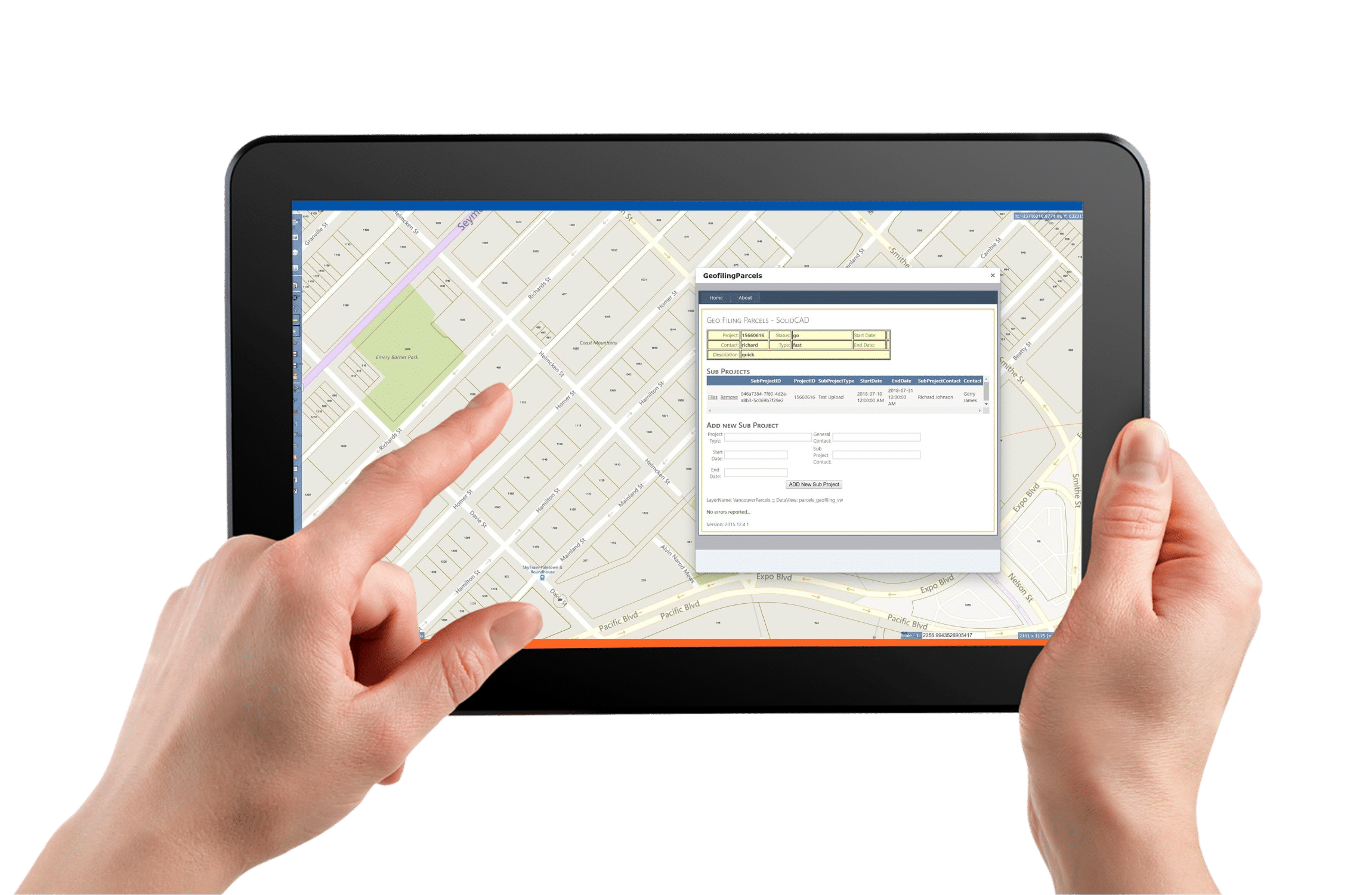
SolidCAD’s Geo-filing Solution is a web-mapping data management tool that allows you to take map objects from AutoCAD, Civil 3D or ArcGIS that are linked to associated files, projects, and project tasks to the web. Now you can create an easy point and click interface using Google or Bing Map as a background to your project data.
SolidCAD’s Geo-filing Solution uses features of MapGuide with uniquely customization designed by SolidCAD’s programmers to meet the demand for a web-mapping data management software.
With this MapGuide software, you can quickly publish and share CAD, GIS map and asset information with web-based GIS mapping software.
Make your life easier by being able to access, visualize, and coordinate enterprise data with workers in the field, operations and customer service personnel, and the public with web-based mapping dashboards and reports.
Key Features
- Rich search data and analysis
- Report generation tool
- Convert web map print to PDF customized with your organizations identity and attributes
- Fully supported on mobile devices

